Controlled existing state
Capture real geometry and the interfaces that matter to the project.
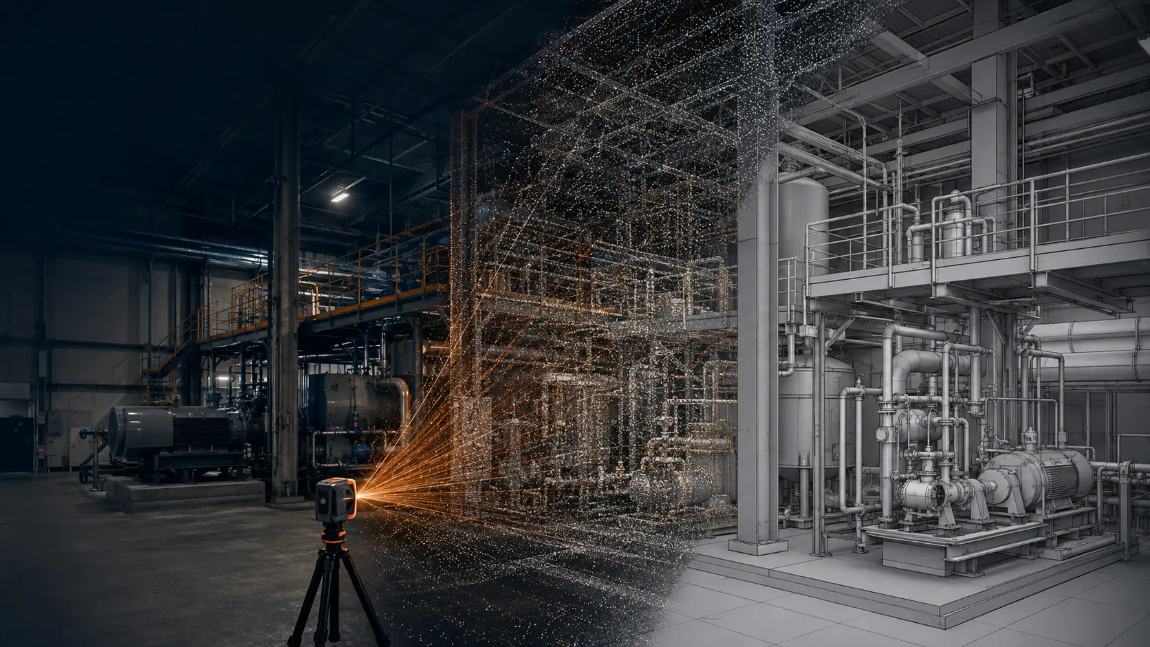
3D scanning · Reality capture · Scan-to-model
SPMD turns existing facilities into accurate, usable digital assets for engineering, modification, layout and industrial documentation.
Discuss my requirementFrom field to engineering
SPMD delivers 3D surveys and digital models of industrial buildings, structures, equipment and production environments. The result becomes a practical basis for engineering, revamping, layout and work preparation.
Capture real geometry and the interfaces that matter to the project.
Reduce missing dimensions, assumptions and return site visits.
Review the environment before modifying or installing equipment.
Retain a structured representation of the surveyed condition.
SPMD projects
Each case is presented as a separate project. The first three cover machinery, a process unit and a complete production line; the others address separate industrial simulation and modelling requirements.
The as-built survey becomes the geometric baseline used to design and validate the guards within the machine’s real environment.
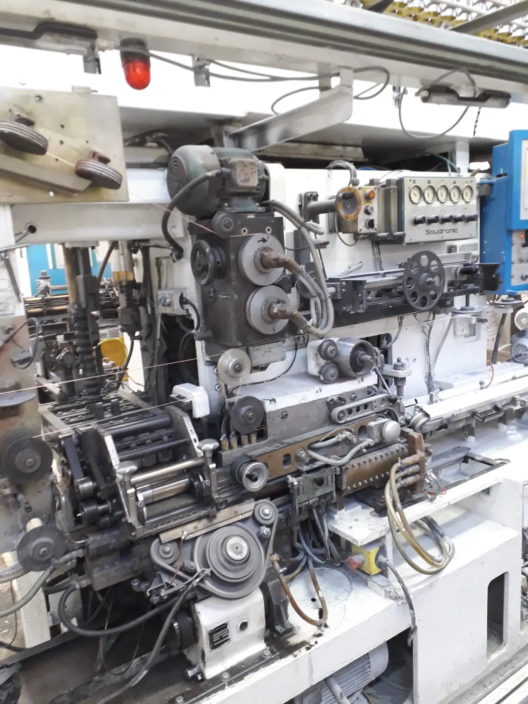
Machine inspection and identification of the areas, equipment and interfaces to be surveyed.
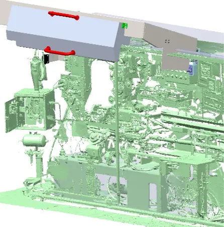
Capture of the real geometry to establish an accurate digital baseline of the installation.
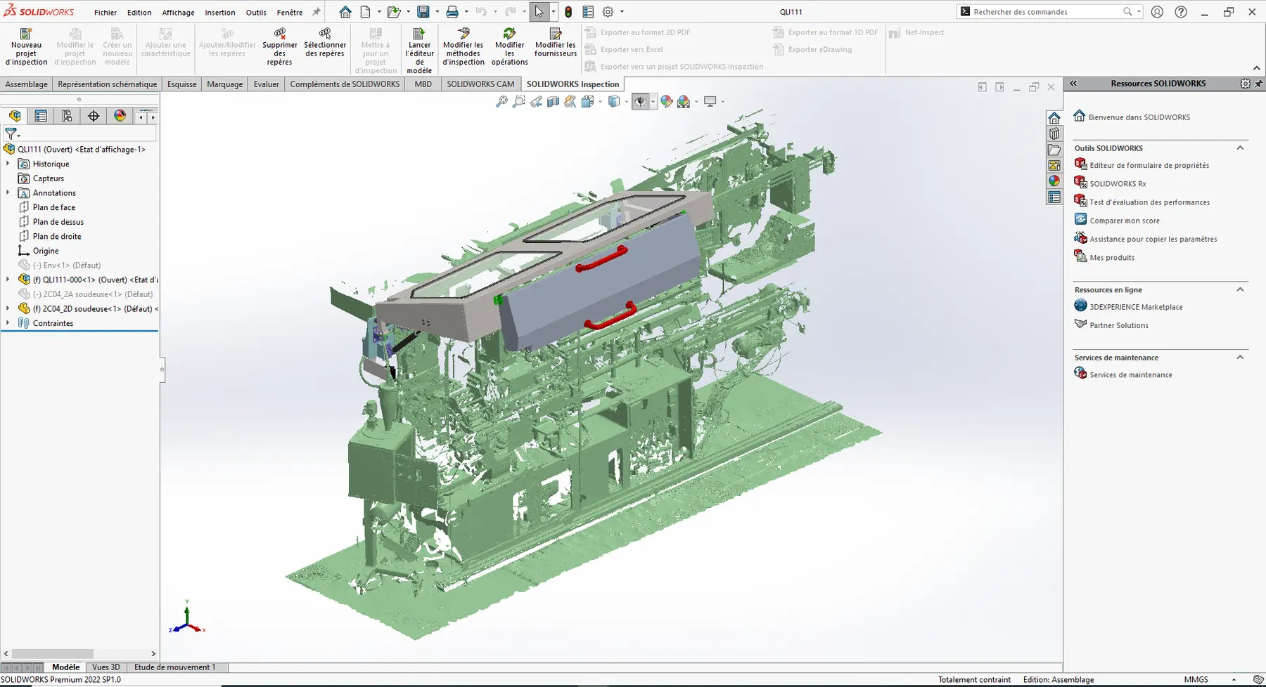
Guard design in the overall model and review of clearances, interfaces and operating travel.
The existing area is captured in its real complexity and rebuilt as a coordinated 3D model to integrate equipment, networks and structures and support reliable layout decisions.
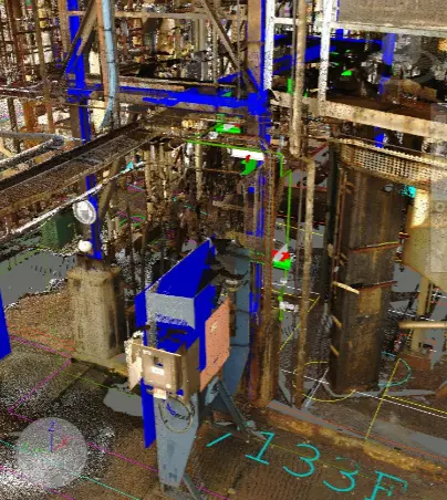
Capture of the industrial environment and creation of a point cloud covering visible equipment, piping, structures and interfaces.
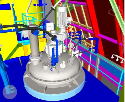
Modelling of the process equipment, piping, supports, platforms and engineering interfaces within one coordinated 3D reference.
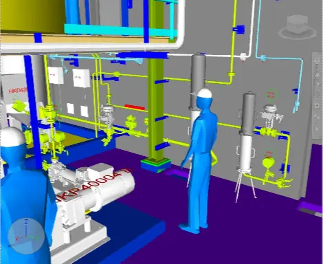
Review of interfaces, clearances, circulation and operator or maintenance access before modification and work preparation.
The survey covers several successive areas of the line to establish one overall geometric baseline including machinery, conveyors, structures, utilities and existing interfaces.
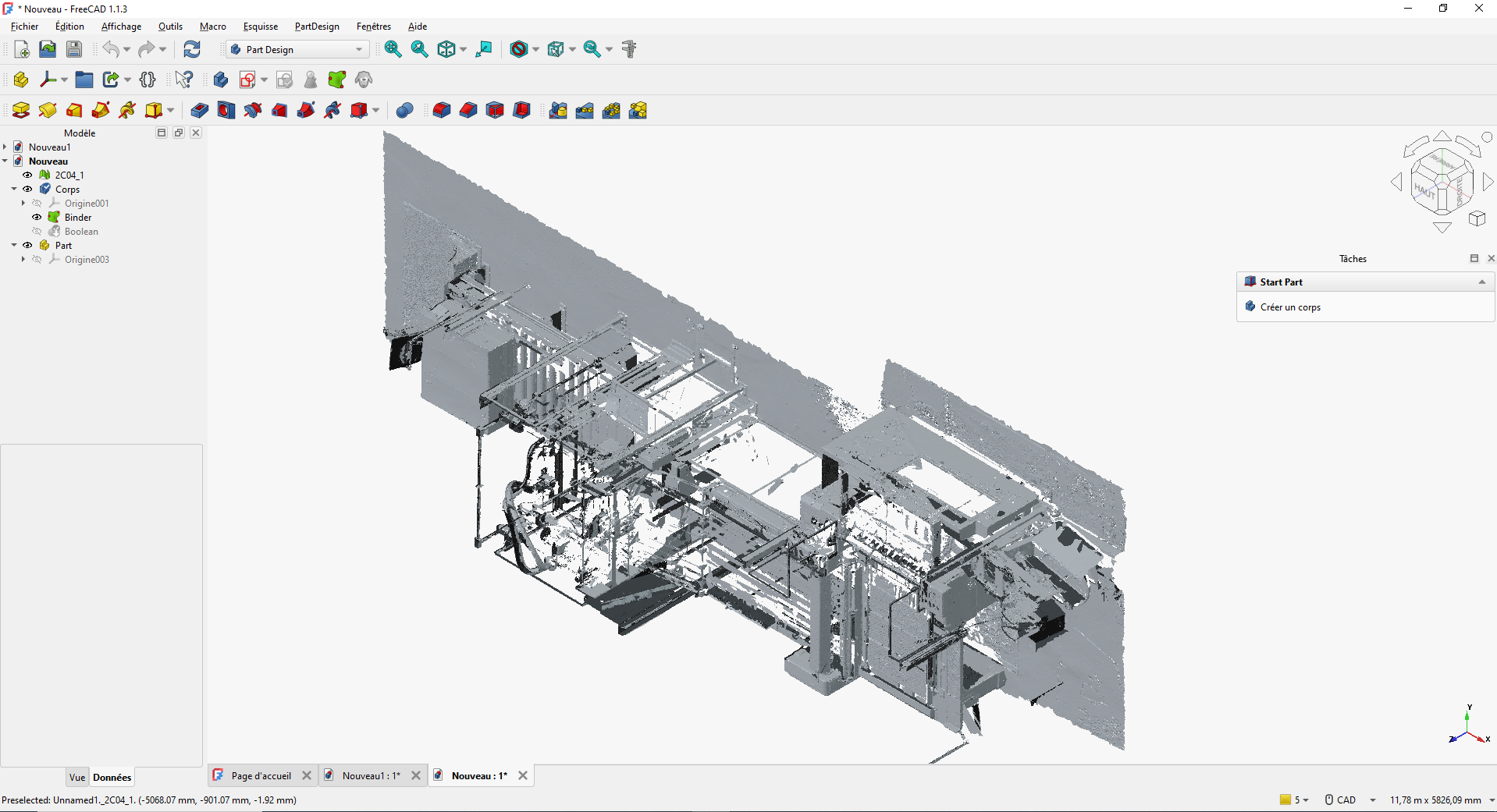
Point-cloud restitution of a first area including machinery, supporting structures and workshop boundaries.
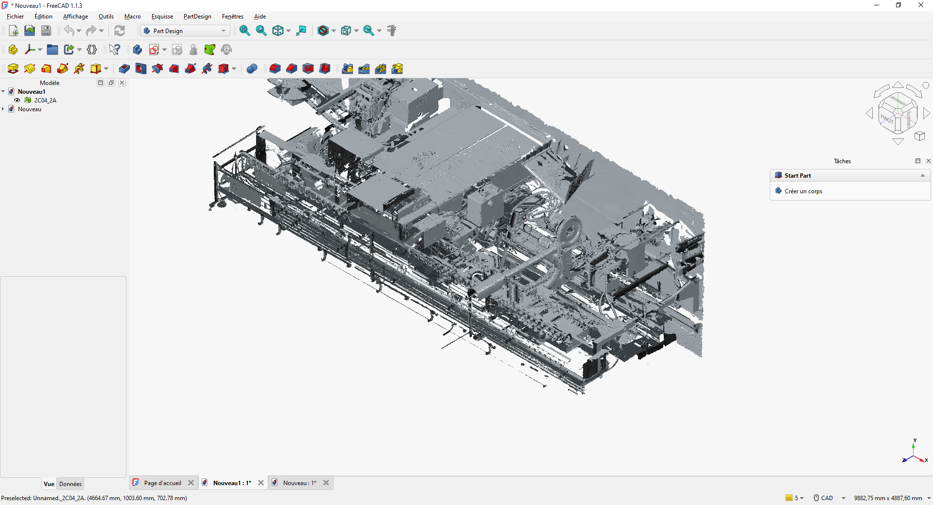
Consolidation of a dense area containing equipment, conveyors, utilities and multiple mechanical interfaces.
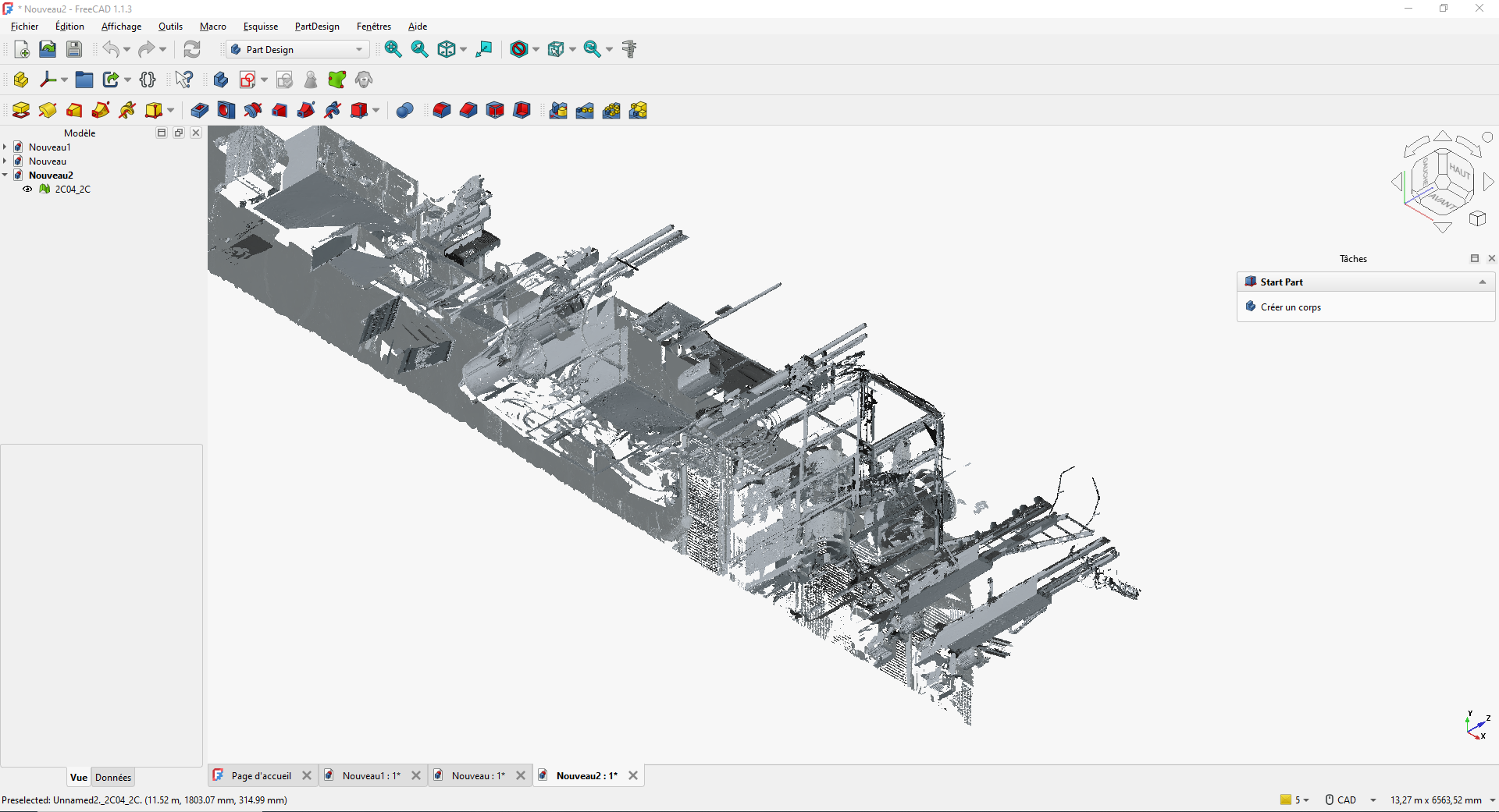
Registration of the zones in one common reference to review the full line layout and prepare future engineering work.
These independent projects combine process models, flow simulation and overall CAD studies of robotic lines. The global views show the actual coordination of stations, robots, conveyors and interfaces.
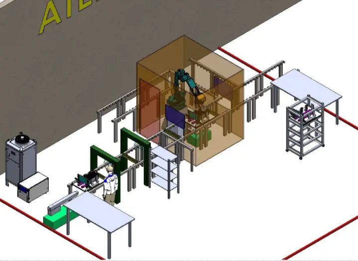
Review of the layout, workstations, circulation and equipment before installation.
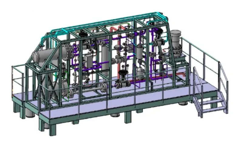
Overall model combining process equipment, networks and supporting structure.
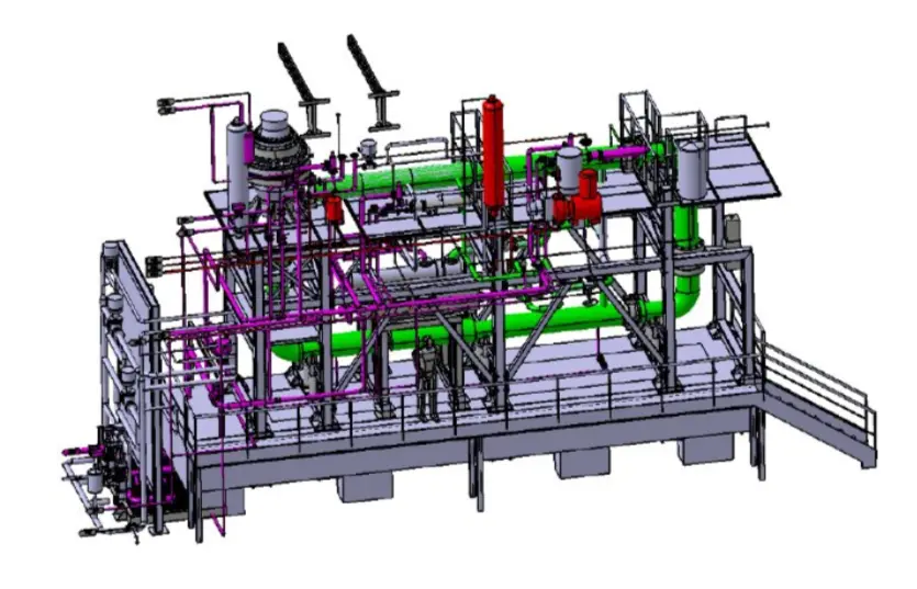
Coordination of equipment, networks, platforms and access within one 3D reference.
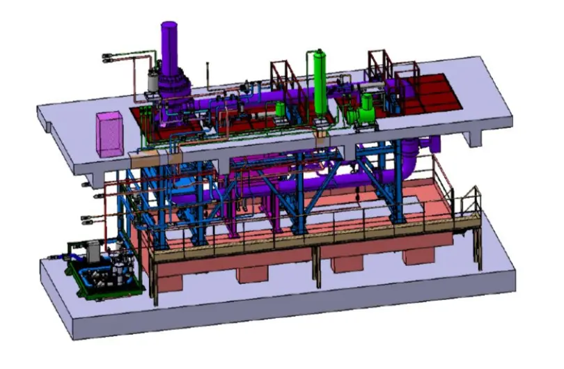
Review of vertical layout, clearances, access and assembly interfaces.
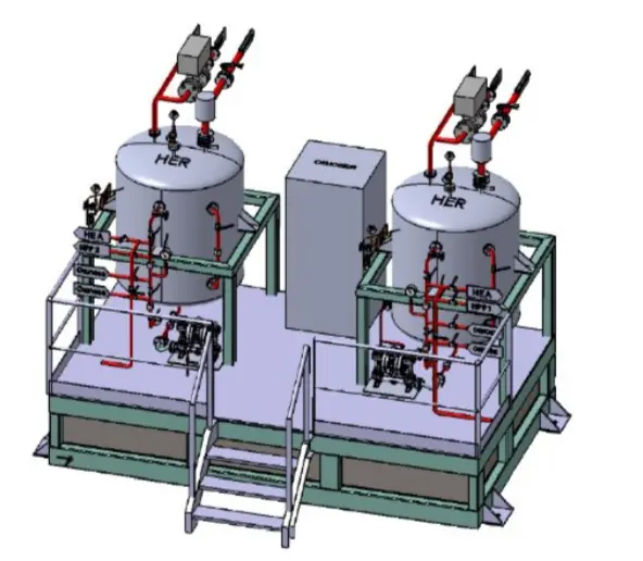
Representation of vessels, supports, piping, instrumentation and operator access.
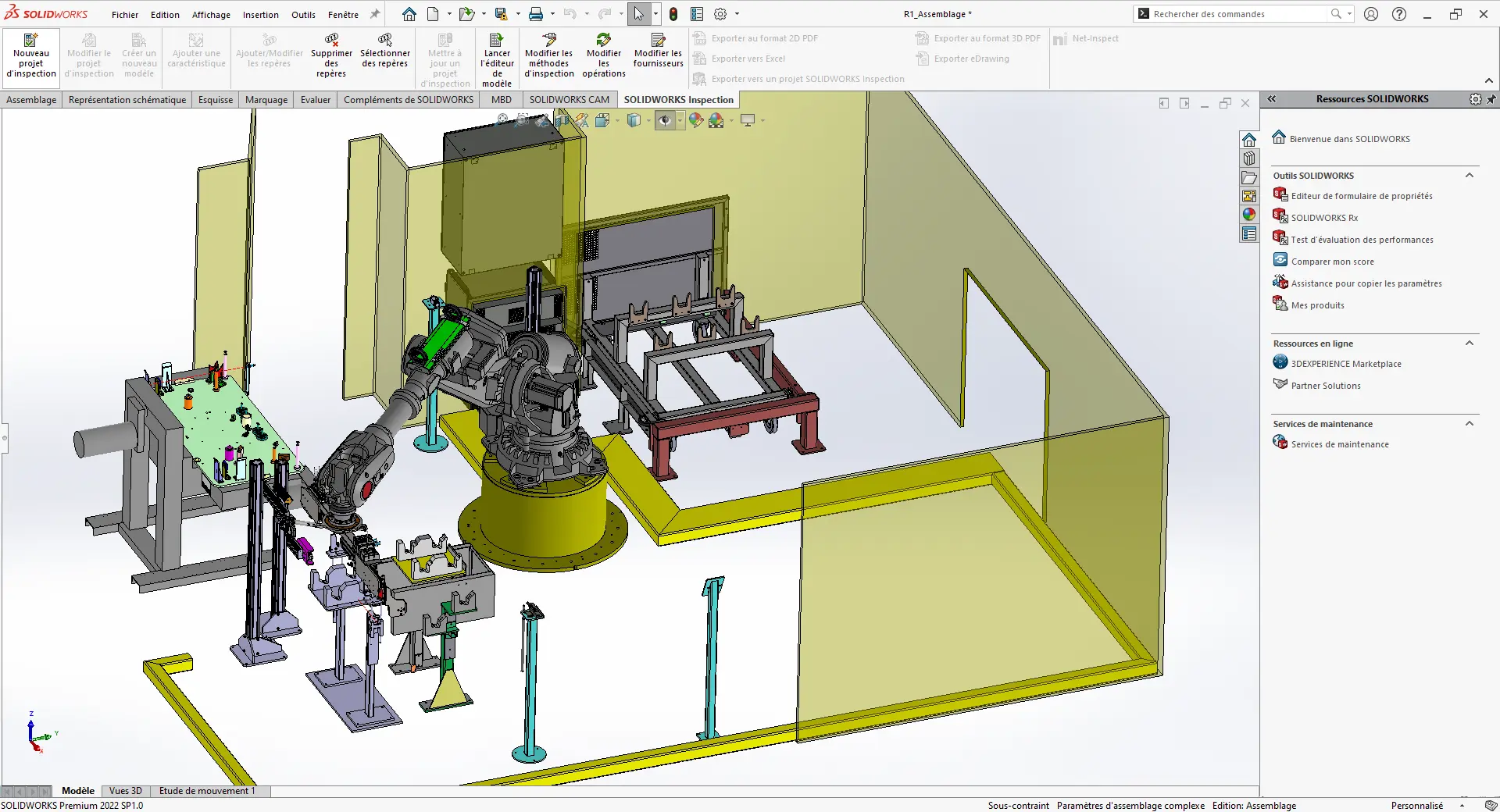
Coordinated layout of the robot, tooling, stations, interfaces and functional areas of the cell.
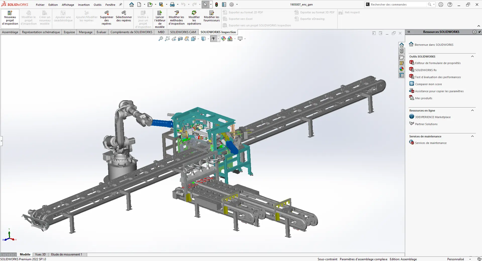
Overall view integrating conveyors, cells, automated stations and operator areas.
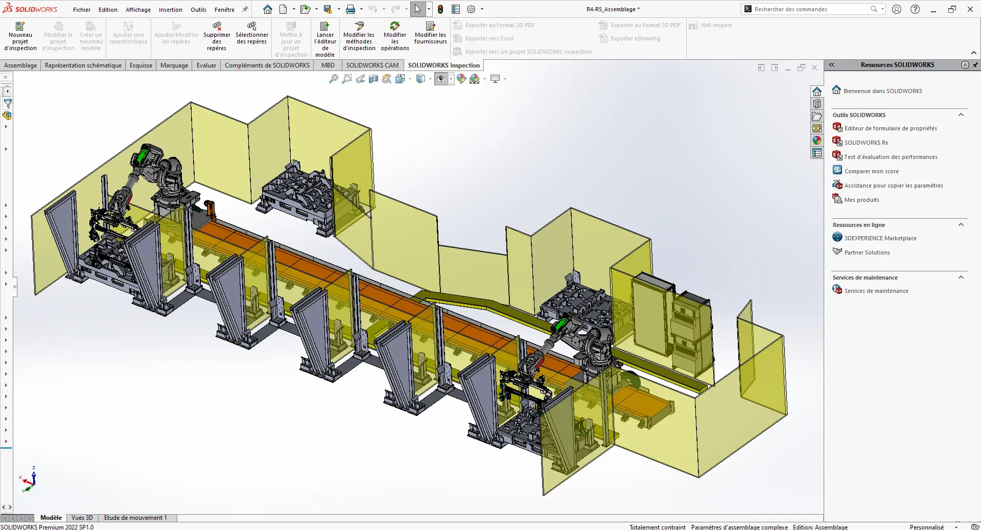
Overall architecture of the line, flows, pallets and two robotic cells.
Our scope
Detail level, coordinate reference, survey areas and deliverables are agreed from the outset according to the intended use.
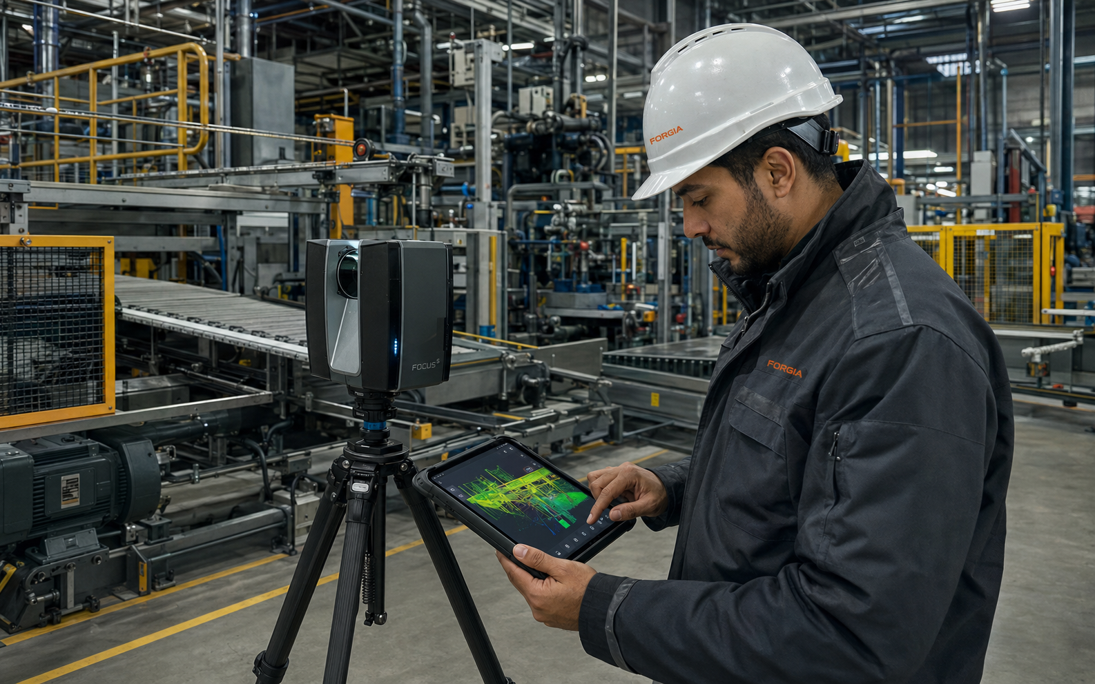
Capture of accessible volumes, structures, equipment and interfaces on site.
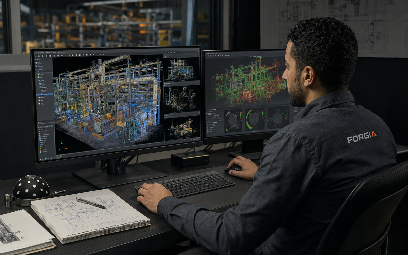
Registration, cleaning, alignment and organisation of surveyed data for technical use.
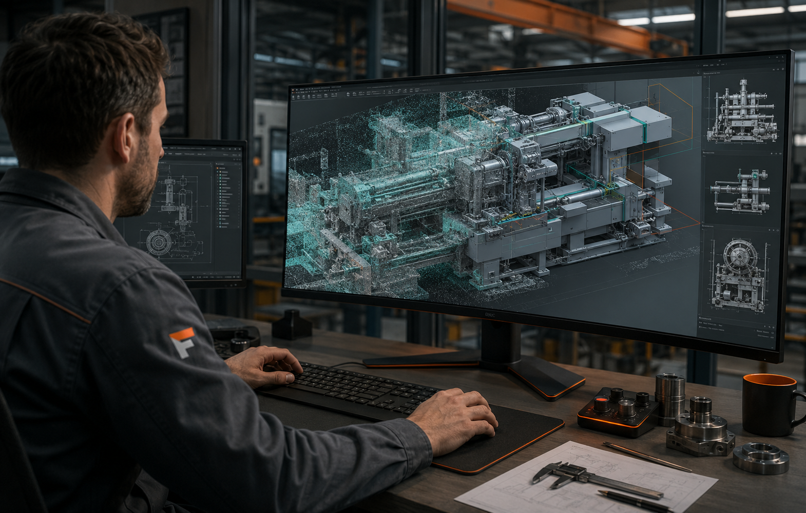
CAD reconstruction of the existing asset at the level of detail required for engineering and coordination.
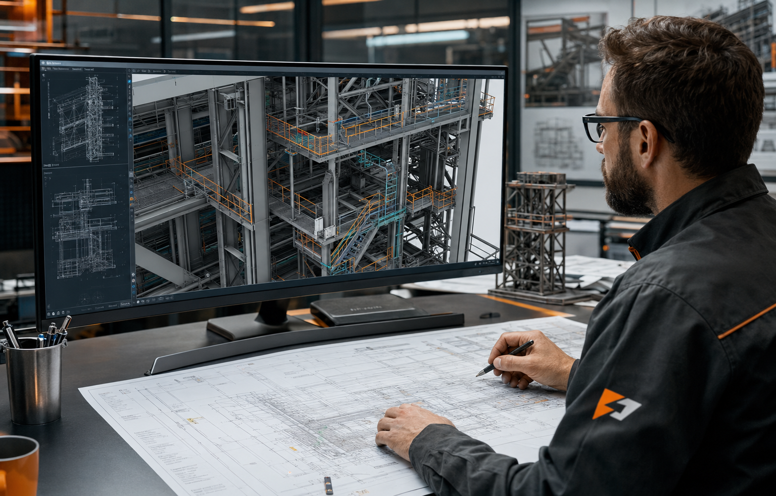
Modelling of frames, platforms, buildings, access systems and key site structures.
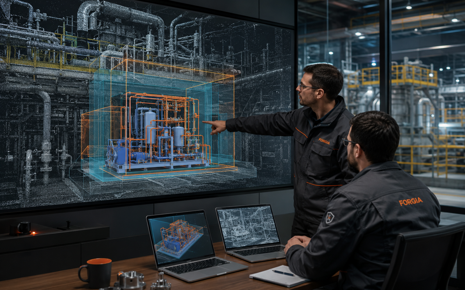
Preparation of modifications, insertion of new equipment and clearance reviews.
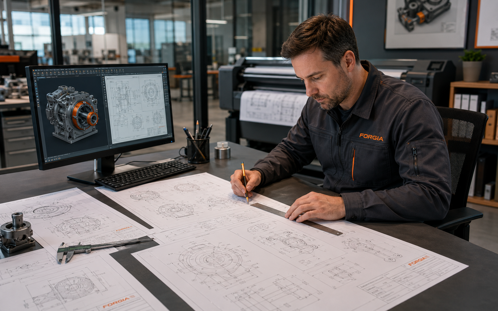
Views, sections, layouts and packages suited to engineering, construction and maintenance teams.
SPMD method
Agree the purpose, scope, reference system and expected level of detail.
Plan and survey the relevant areas, equipment and interfaces.
Register, clean and structure the point cloud in the project coordinate system.
Reconstruct the existing asset and add the information required for engineering.
Check consistency and hand over the agreed models, drawings and data.
Industrial applications
Prepare modifications to an existing line, workstation or item of equipment.
Insert machinery and review access, interfaces and clearances.
Document a workshop before relocation, reorganisation or duplication.
Provide usable geometry for assessment, reinforcement or adaptation.
Create a visual and geometric baseline for future interventions.
Output data
Handover formats are agreed at project launch according to your tools and objectives: point cloud, 3D model, 2D drawings, sections, layouts and a project handover package. SPMD does not impose a generic format; each delivery is defined to remain directly usable by your teams.
Reality capture & scan-to-model
Tell us which area needs surveying, how the model will be used and which deliverables you require. SPMD will define the right scope with you.
Request a quote